Published on 05 August 2025
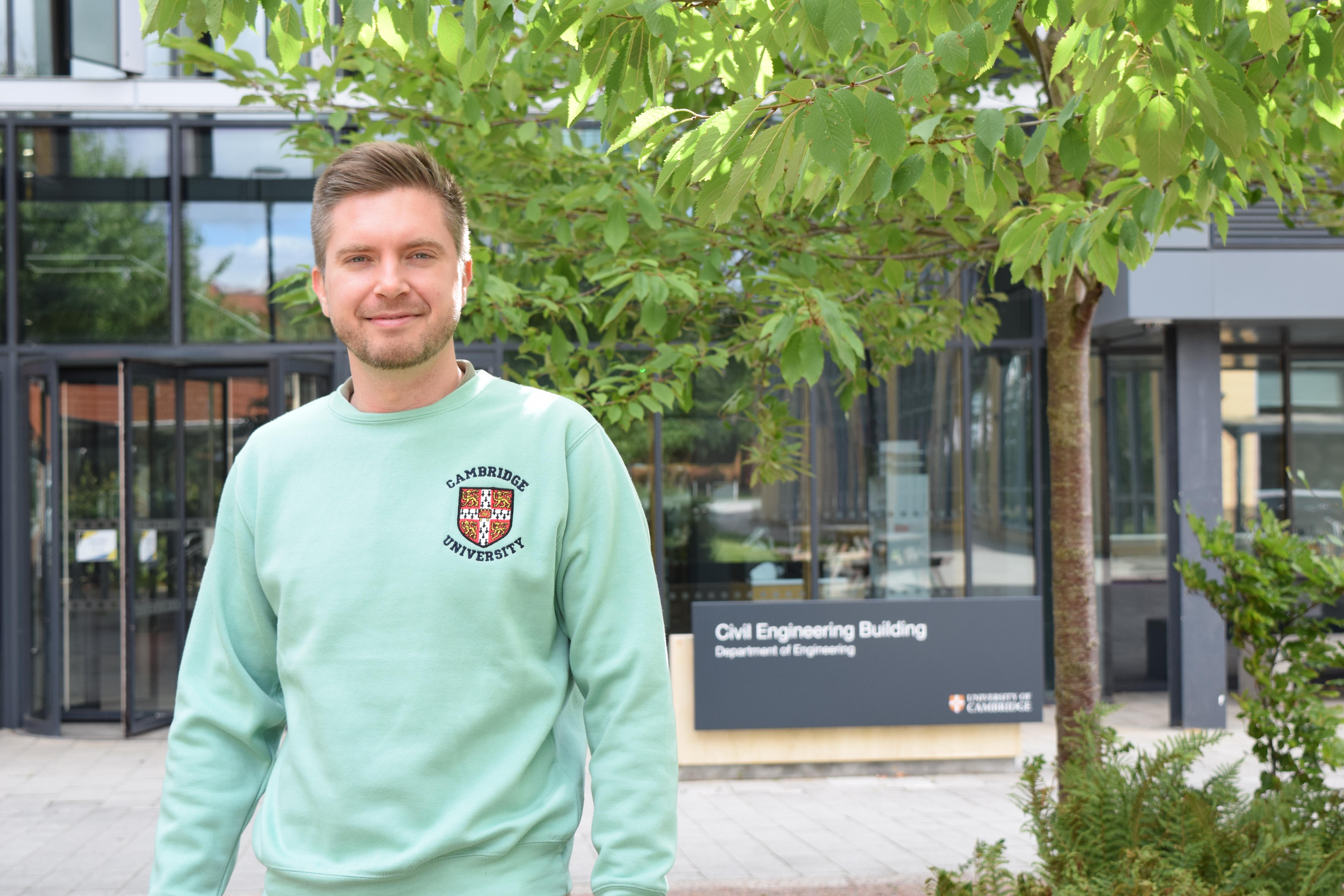
From laser-scanned cities to next-generation digital twins, Dr Olaf Wysocki has joined the University of Cambridge’s Laing O’Rourke Centre and the Centre for Smart Infrastructure and Construction as an Assistant Research Professor, where he is working alongside Dr Brian Sheil to advance cutting-edge research in 3D reconstruction.
A summa cum laude PhD graduate from the Technical University of Munich, his research focuses on 3D object reconstruction and semantic segmentation of point clouds. Active in initiatives like Get Kids into Survey, Olaf shares what drew him to Cambridge, the vision behind his research and why collaboration and outreach are central to the future of geomatics.
What attracted you to Cambridge, and what are you most looking forward to exploring, personally or professionally, during your time here?
Oh, it’s quite a long list, but I’ll try to be brief. Professionally, I was drawn to the scientific freedom and the incredible platform that both the University and the group offer. On the personal side, I’ve always admired the architecture of Cambridge. It has a real school of wizardry vibe. I also really cherish how walkable and cycle-friendly the city is, and I love a proper English breakfast and fish & chips!
Could you tell us about your current role at Cambridge and what inspired you to establish the CV4DT: Computer Vision for Digital Twins group?
In my current role, I supervise early-career researchers as they take their first academic steps, and I write project proposals that hopefully help define novel research directions for the next 3 to 5 years. This leads to CV4DT. In my view, despite the significant progress in computer vision, we are still in its infancy when it comes to computer vision beyond 2D recognition, let alone 3D object reconstruction at a large scale. The concept of digital twins is even further down the line, as it pertains to object-oriented 3D geometric and semantic representation that can be updated and record online object state reliably. That is why the name. It should show the long-term vision of the group.
Your research spans 3D object reconstruction and semantic segmentation of point clouds. What first sparked your interest in these areas, and how have they evolved since your PhD at TUM?
I think it all started with my childhood love of maps. Growing up in a small Polish town in the 1990s, maps represented distant and abstract realities to me, like the streets of Sydney or Tokyo. During my master’s studies, I became fascinated by 3D models and realised we could reconstruct reality not just in 2D, but as 3D maps. There is definitely more open data available, coding has become much faster, and the performance increase is noticeable. This field of research is developing very fast, and we have new game-changing methods almost every year, yet there is still plenty to discover. In practice, there is still mostly manual 3D modelling involved—and that's the bottom line. As long as there is little to no automation, we have a great deal to work on.
Despite great strides in computer vision, we are still in its infancy when it comes to large-scale 3D object reconstruction and digital twins.”
Dr Olaf Wysocki
You’ve collaborated across academia and industry, from Audi AG to urban reconstruction companies and labs like NUS and TUM Data Innovation. How have these experiences shaped your current approach to digital twins and photogrammetry?
I strongly believe that collaboration between academia and industry is vital. Realistic, pressing challenges often come from industry, and in turn, these challenges benefit academic research because they give us readily available problem formulations to solve, ones that can have a real-world impact.
You are also active in outreach through Get Kids into Survey and other initiatives. What motivates you to get involved, and what role do you think public engagement plays in the future of geomatics and digital cities?
To me, being an academic carries certain ethical responsibilities. One of them is sharing knowledge not just within academic or professional circles, but with the wider public. It’s also essential to debunk myths around technology and to inspire the next generation of researchers to keep pushing boundaries. After all, this is a relay race. Someone has to take over after us. As for geomatics, it is such a broad and fascinating discipline that we should highlight the need for many professions and domain specialists.
And finally, when you’re not reconstructing cities or training point clouds, what hobbies or interests keep you busy?
Then I’m training myself. I love sports, so you’ll often find me chasing a football or tennis ball, lifting weights, or crawling through water. Beyond that, I’d love to find a film club here in Cambridge and maybe even a wood carving buddy.
The text in this work is licensed under a Creative Commons Attribution 4.0 International License.
